RN 270 Cugnoli Curti – Former Fish Ponds and Migotti Pond – Wetland of National Importance
Project
The Parco del Piano di Magadino Foundation commissioned Nephos Swiss Fog studio in Bellinzona to design enhancement interventions for the former fish pond and Migotti wetland areas of the Cugnoli Curti wetland of national importance, project no. 2312. The intervention was funded by the Canton, Municipalities, and Confederation.
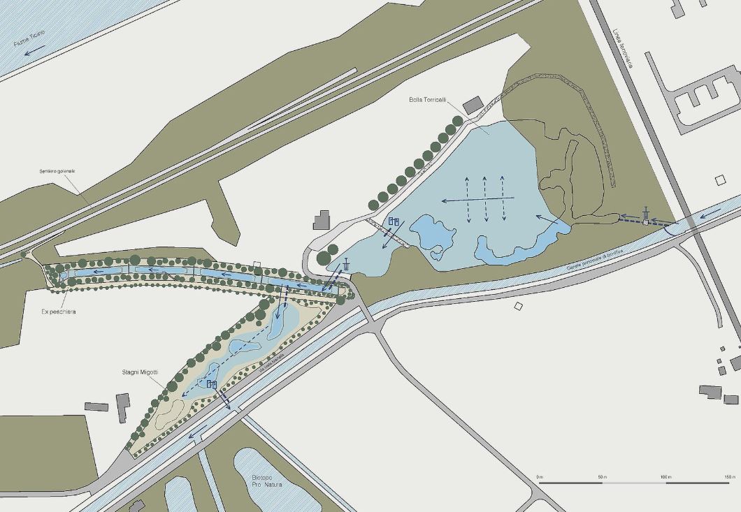
The project involves three parcels located in the municipality of Locarno:
former fish pond, parcel 4597 (3,948 m²), owned by the Republic and Canton of Ticino
access path, parcel 4598 (921 m²), owned by the Ticino River Correction Consortium
Migotti wetland, parcel 4599 (5,951 m²), owned by the Migotti hereditary community
The area is part of the Cugnoli Curti Pond section, listed in the federal inventory of wetlands of national importance, and is situated in a valuable natural setting with the recently restored Torricelli pond to the north and the Cugnoli Curti biotope managed by Pro Natura to the south.
With the financial support of
@corradogriggi.photographer
@nicolacolombonephos
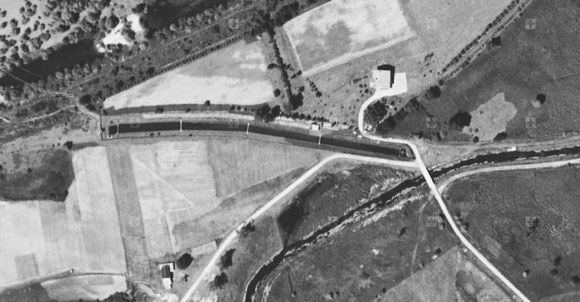
Aerial photo of the area from 1943, where the fish pond is recognizable, Swisstopo
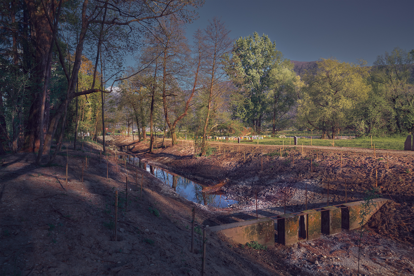
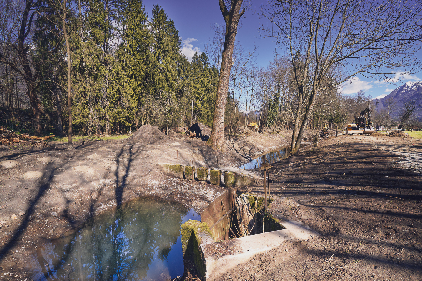
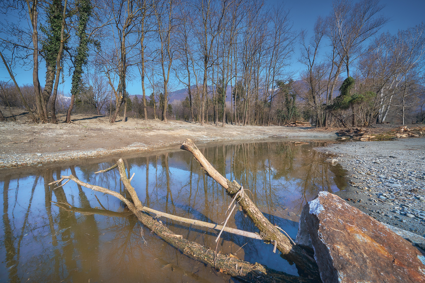
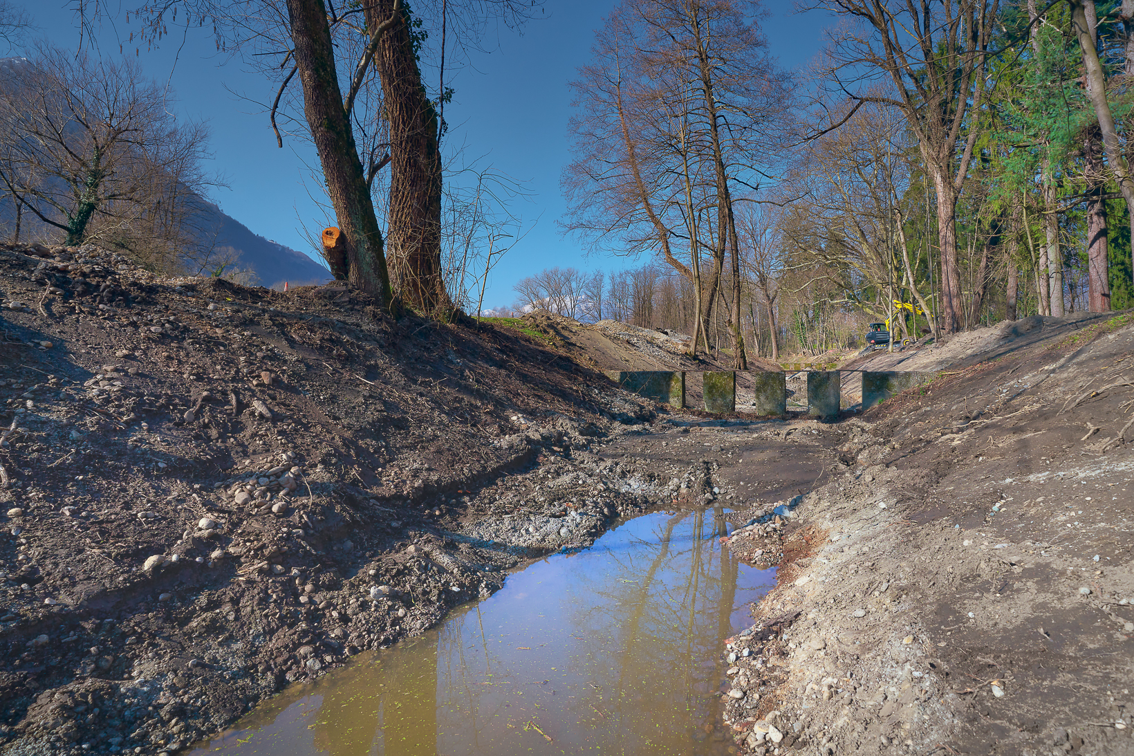
From a technical perspective, the former Fish Pond – built in the first half of the twentieth century after the main canal was diverted – represents a valuable testament to the early experiments in fish farming of that era. Just a few weeks after the completion of the work, the ponds were colonized by amphibians and new plant species, a sign of the rapid ecological rebalancing of the area. Today, the canals are no longer just hydraulic works, but places of life and biodiversity. 'Land art' elements have also been incorporated, marking a first experiment of this type within a limited perimeter rich in ideas and potential.
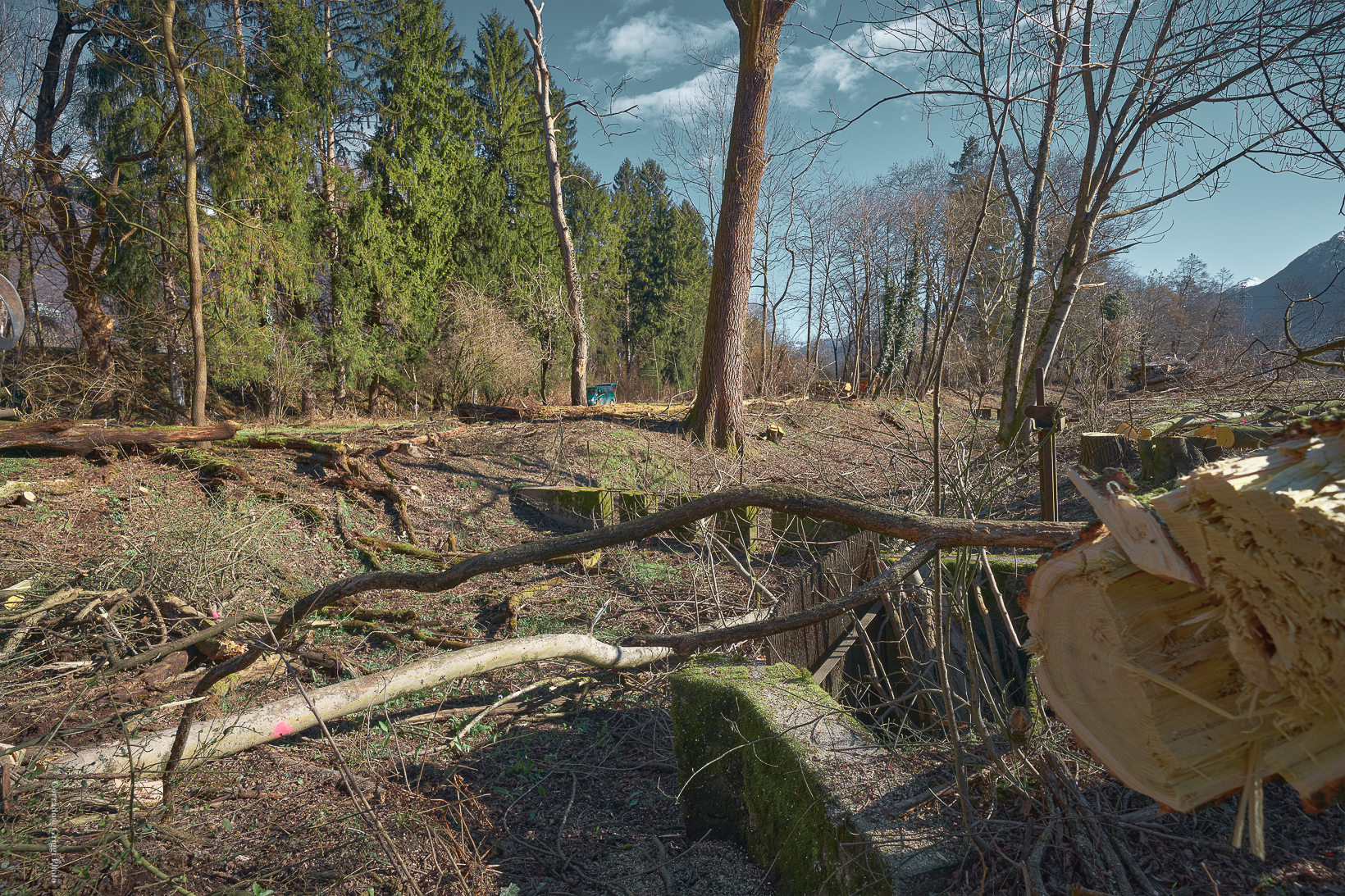
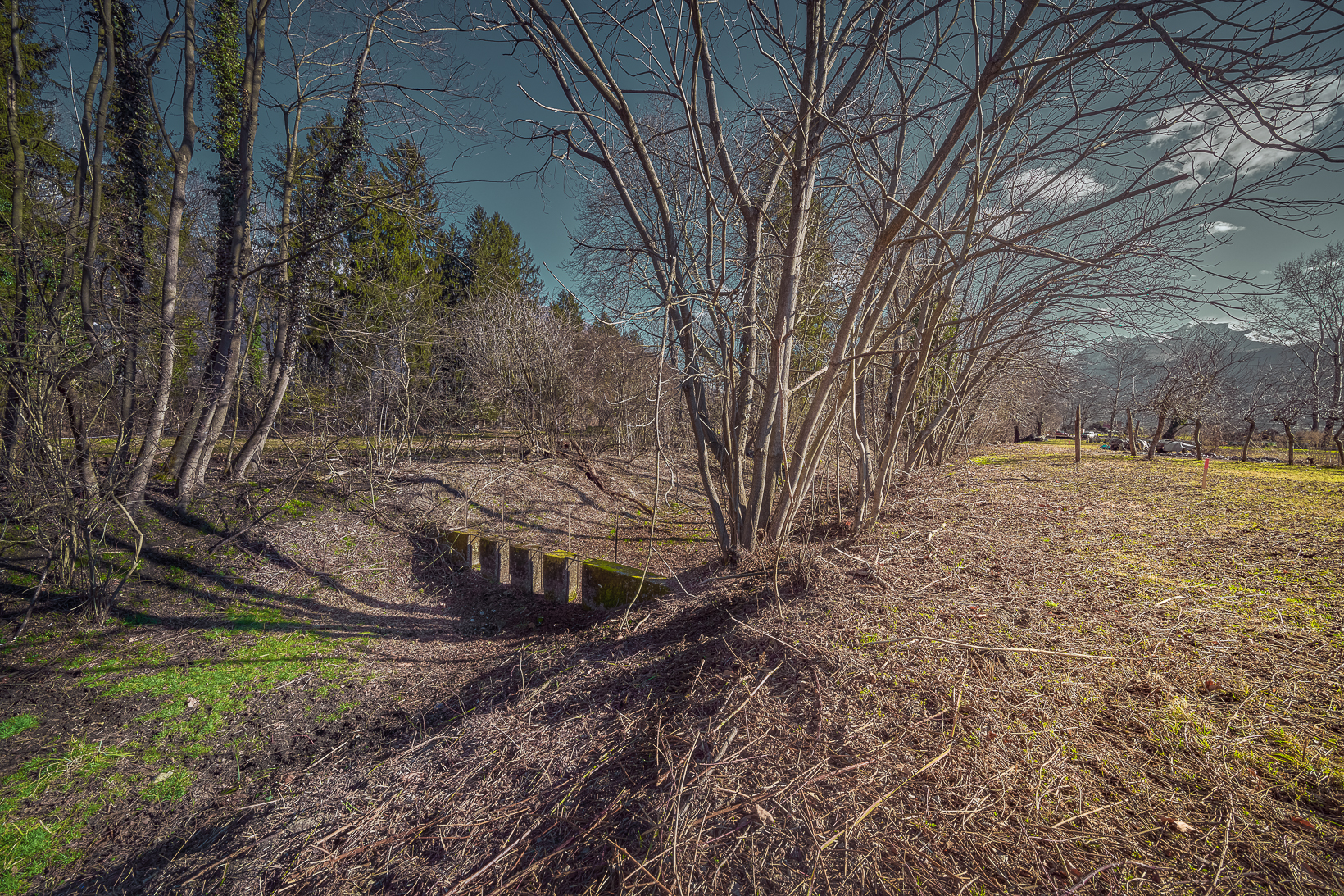
State before interventions: issues
The naturalistic enhancement proposal was developed based on the positive experience of the recent restoration of the Torricelli pond and the results of preliminary surveys conducted between August 2 and 4, 2023.
These surveys highlighted the groundwater level, which has presumably dropped by about one meter over the last seventy years.
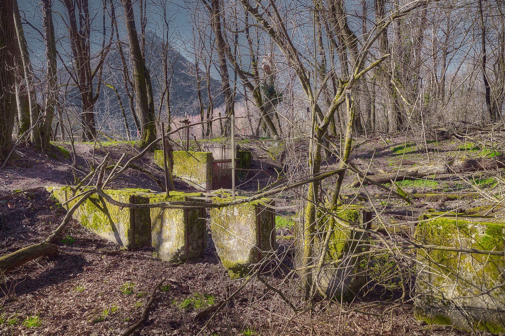
The configuration of the former fish pond was also noted: a lamination well, water intakes and discharge, transverse concrete dividing walls between the basins, foundations, absence of an impermeable bottom, and lateral retaining walls.
@corradogriggi.photographer
Specific objectives of the environmental restoration
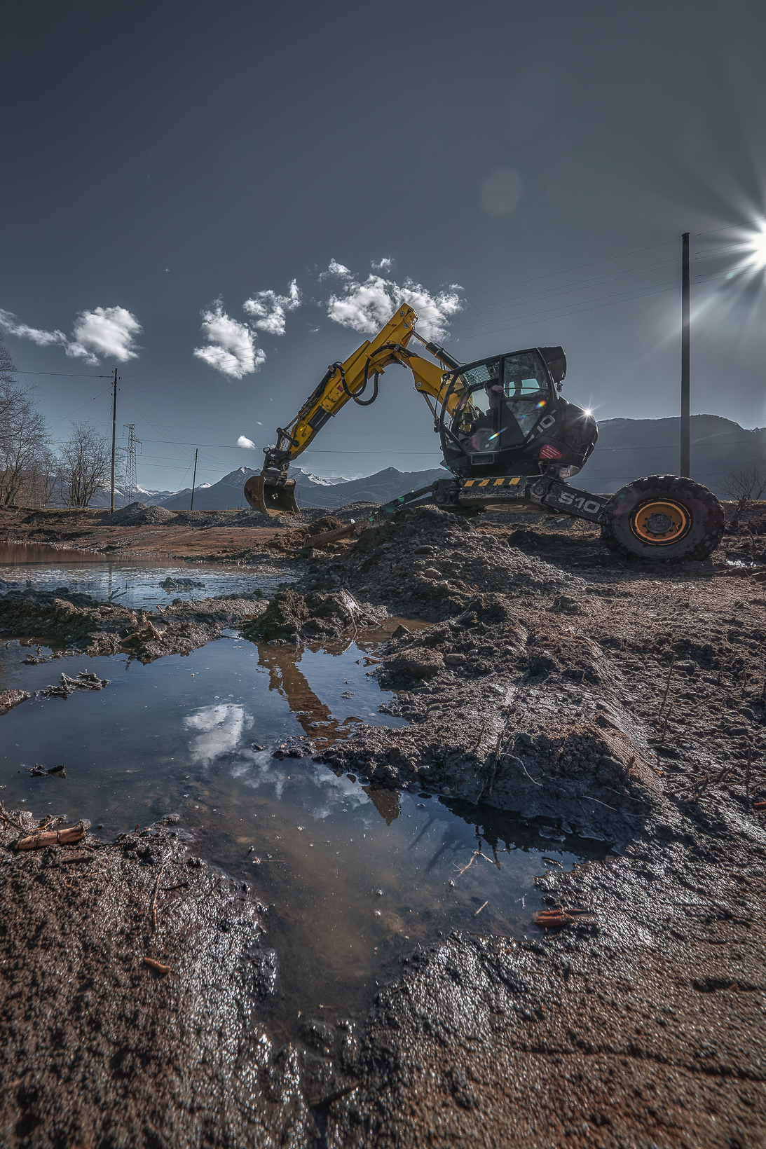
After the works on the Torricelli pond upstream, where a wetland of approximately 15,000 m² was secured, interventions are now being carried out downstream on the three aforementioned parcels. The ecological reactivation project aims to increase the wetland areas throughout the section through excavation and hydraulic connection works, with the following objectives:
1
Expansion of wetland areas and permanent water bodies, even under water deficit conditions.
2
Extension of controlled flooding zones, utilizing water inflow from the Torricelli intake. Seasonal flooding also actively helps to combat the emergence of invasive neophytes, promoting the formation of reed beds and sedge meadows.
3
Promotion of suitable habitats for amphibians, migratory, and resident avifauna.
4
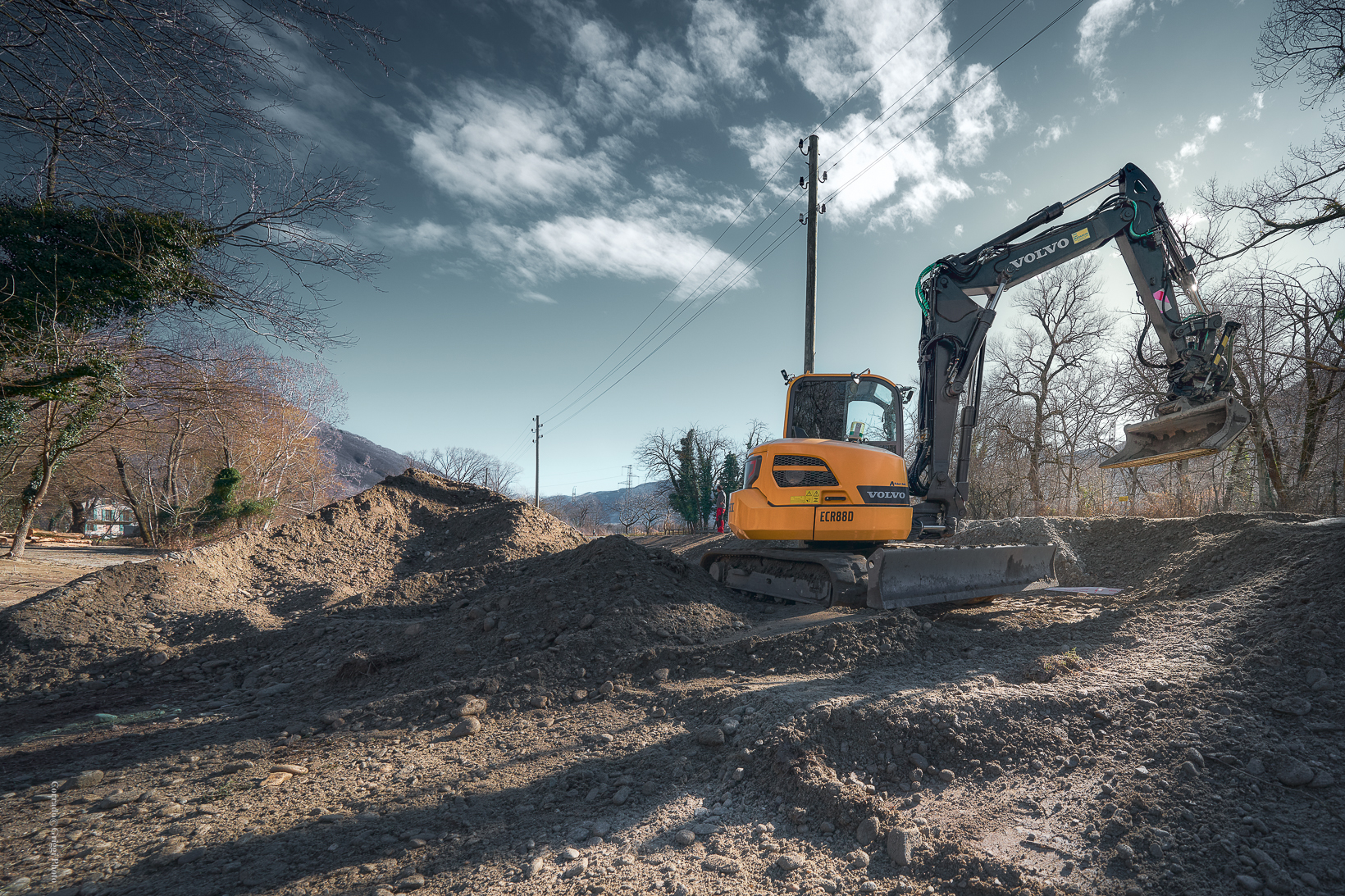
Rationalization of interventions and earth movements (material from excavations is entirely repositioned within the project area) to reduce costs and construction site impact.
Description of interventions
General cleaning
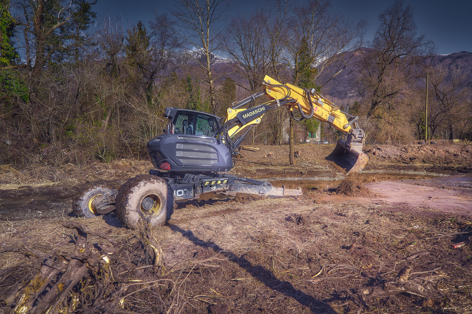
Cutting of bushes and trees
Monitoring of invasive neophytes
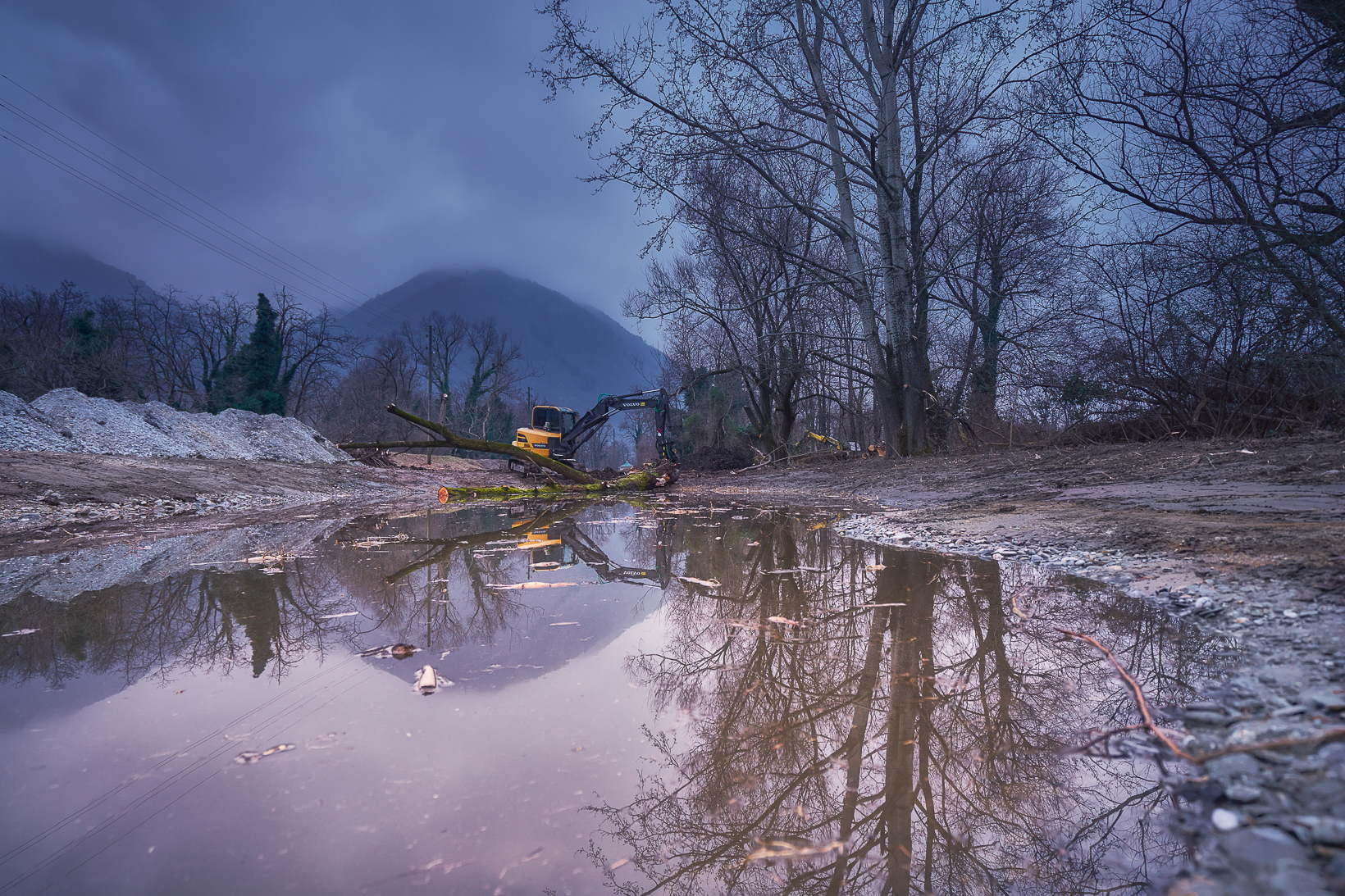
Excavation of three or four depressions and the formation of new permanent groundwater bodies
Removal of posts and wire fences
Excavation of longitudinal basins
Creation of the connecting path to the floodplain dike
Seeding of slopes with a mixture based on lean meadow and ruderal flora
Removal of brambles and invasive neophytes
Raising of the access path
Reuse of excavated material for slopes and paths
Compensatory planting with indigenous bushes and trees