RN 115 Ciossa Antognini – Ramello Canal – Marsh of national importance
Project
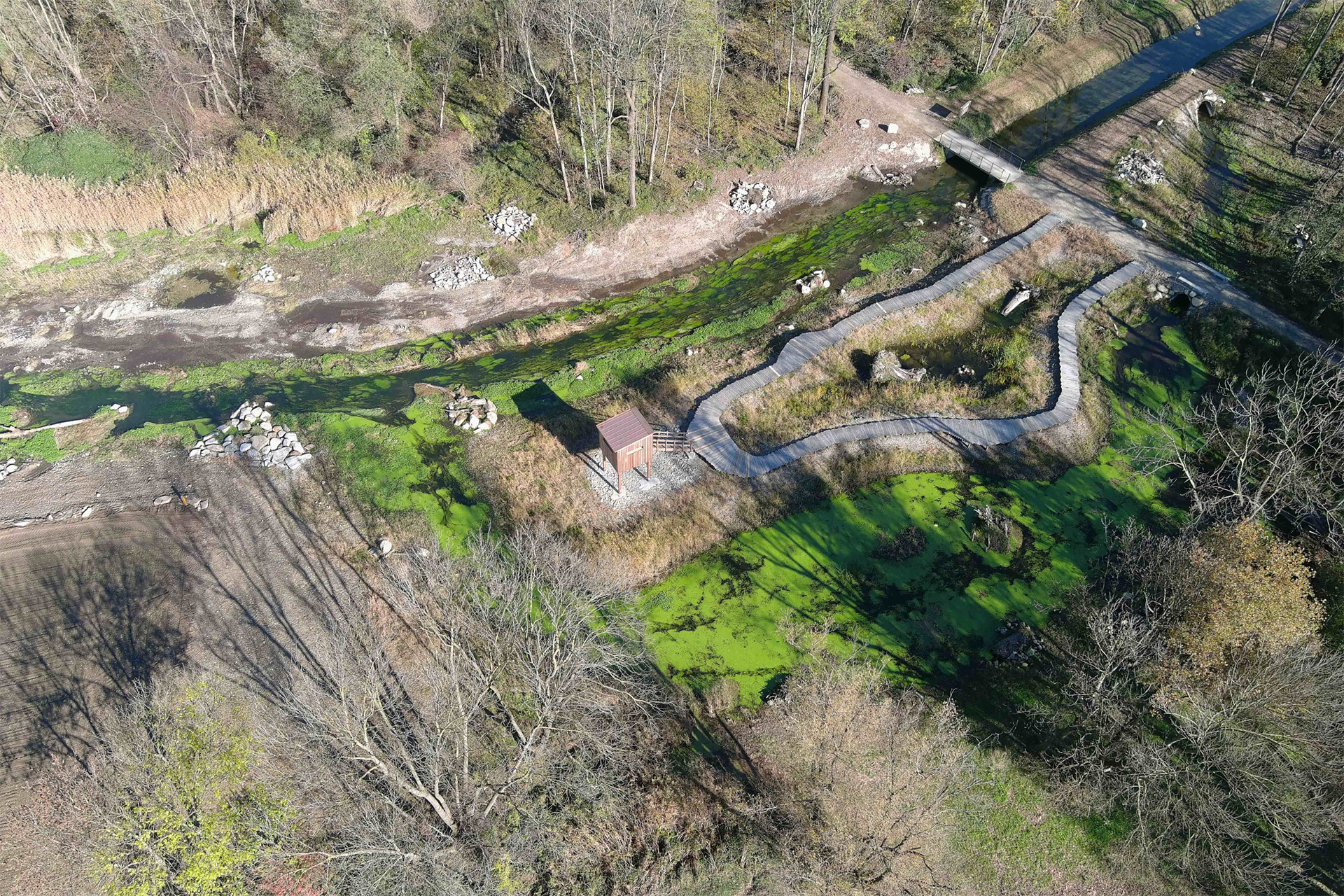
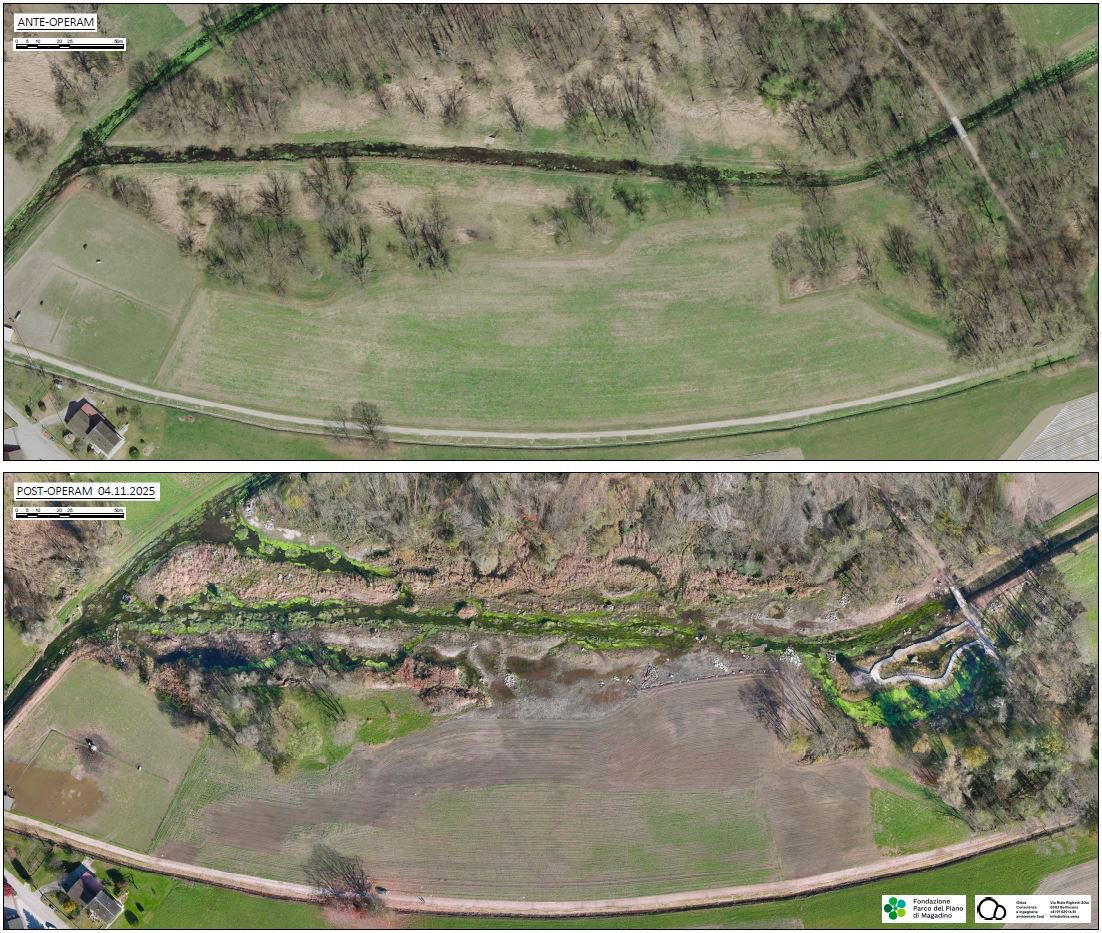
The Magadino Plain Park Foundation has commissioned the Oikos Sagl studio in Bellinzona to design the redevelopment interventions for the “Ciossa Antognini” nature reserve (no. 2310), specifically the area located near the terminal section of Canal A, a tributary of the main left-bank canal. The intervention was funded by the Canton, Municipalities, the Confederation, and the Blue Planet Virginia Böger Foundation X.X.
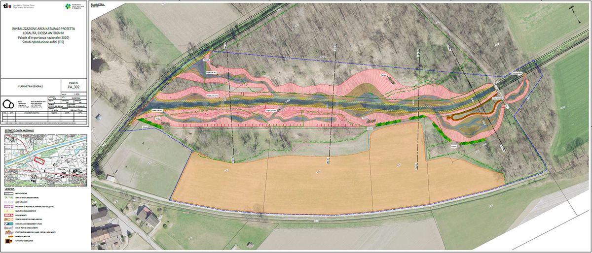
The intervention perimeter extends for a length of approx. 500 m along the terminal section of Canal A. The latter originates as a branch of the main left-bank canal near the town of Sant’Antonino and flows for about 5.5 km along the southern edge of the Magadino Plain, before merging back into the main left-bank canal right within the Ciossa Antognini nature reserve. The catchment area of Canal A has a surface of approx. 11 km2 and collects water from the various slopes of the northern side of the ridge that leads from Monte Ceneri to Monti del Tiglio, above Sant’Antonino.
With the financial support of
@corradogriggi.photographer
The general objective of this mandate is the planning of interventions to enhance the naturalistic content of the marsh and its ecological function in the medium-to-long term, in particular:
Remediation of the ecomorphological deficit characterizing a section of Canal A.
Restoration of the marsh suitability of the project area.
Reclamation of the sector from the presence of invasive species.
Enhancement and restoration of typical riparian vegetation.
Structural improvement of adjacent agricultural surfaces.
Increase in recreational and landscape value.
State before interventions: issues
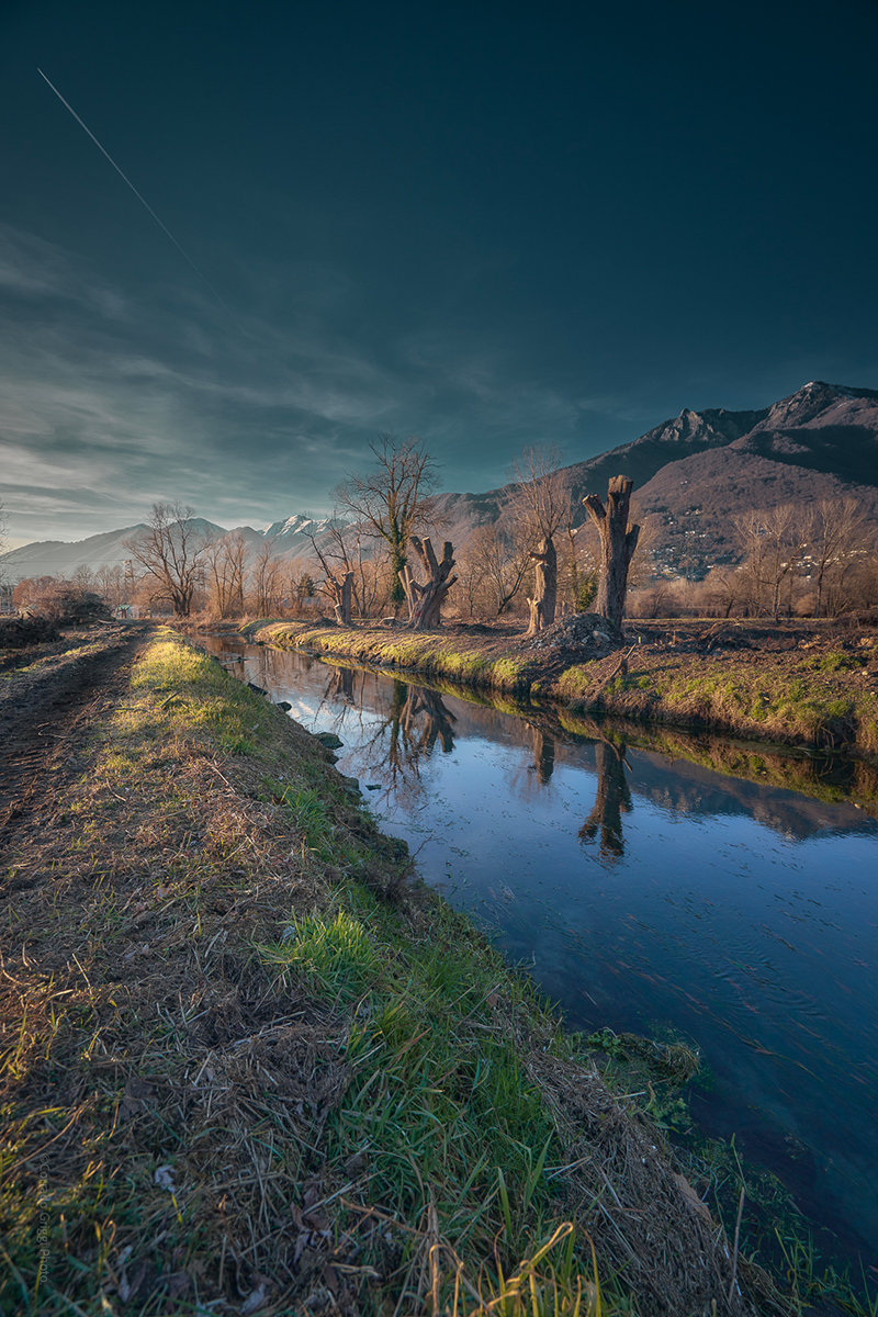
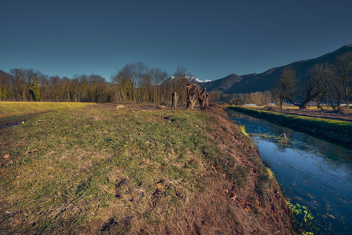
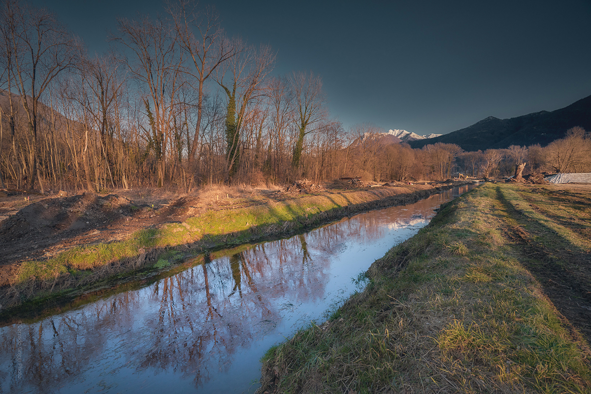
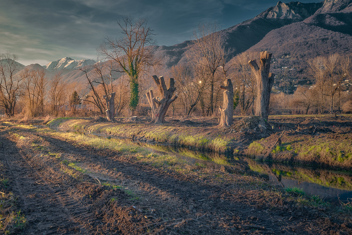
From the analysis of ecomorphological data (FOEN, 2004), it is clear that the section of Canal A located within Ciossa Antognini retains a certain degree of naturalness, falling into ecomorphological class II (“slightly impaired”). However, some deficits persist, mainly due to the trapezoidal section of the bed, zero transverse and longitudinal variability, and the presence of hard engineering elements located at the foot of the bank. The straightening of this canal and the containment of floods within rigid embankments has also excessively limited its function as an element of alluvial dynamics and thus the regeneration of associated riparian and marsh environments.
Following the reclamation and canalization interventions carried out during the 20th century, there was a loss of areas occupied by oxbow lakes and other wetland biotopes within the Ciossa Antognini marsh. As a consequence, the wooded area has gradually increased over the years at the expense of marshy areas and hygrophilous environments characterized by typical vegetation. The progressive lowering of the groundwater level also contributes to a negative evolution of the marsh environments. These areas have progressively silted up, reducing their ecological and functional value as hotspots for plant and animal species of these environments. In parallel, there has been a general simplification of the existing habitats.
@corradogriggi.photographer
Specific objectives of the environmental restoration
The various criteria underlying the design of the revitalization interventions for Ciossa Antognini are listed below:
1
Recovery of the marshy character of the sector: rehydration of the environments, partial lowering of the ground level, and parallel interventions aimed at the targeted raising of the groundwater table.
2
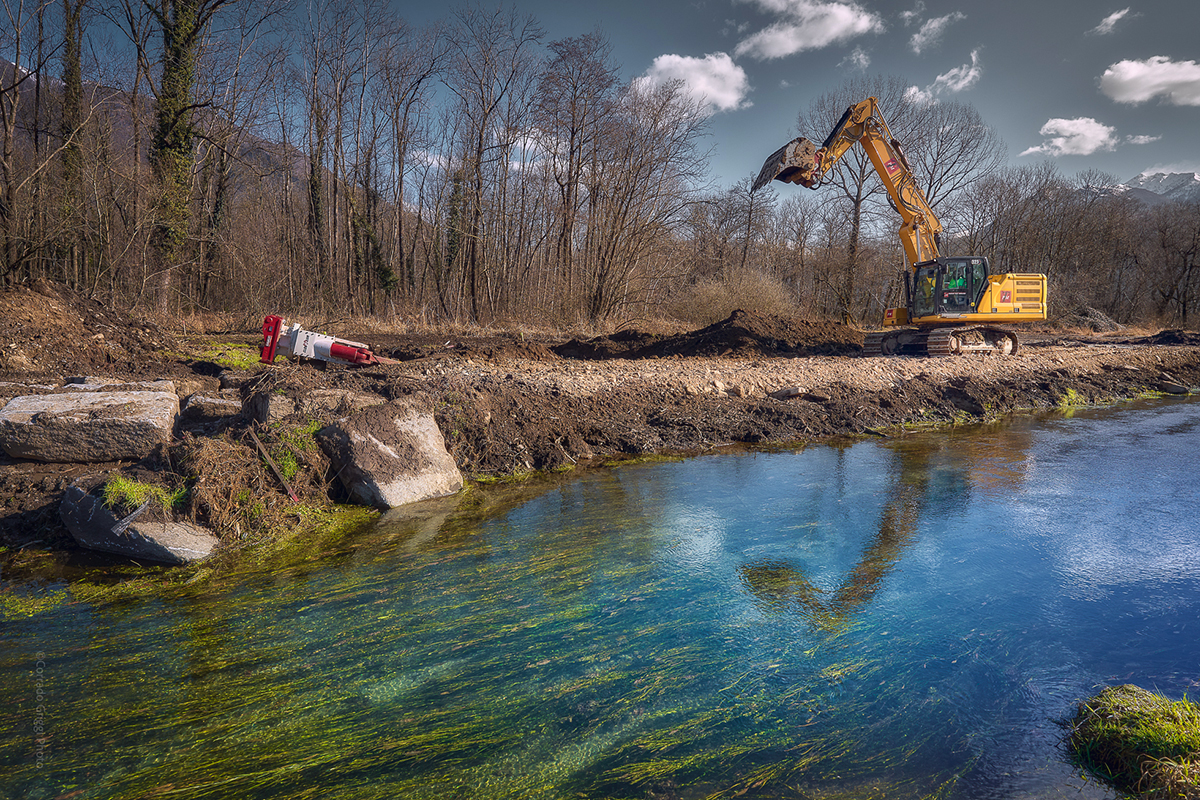
Recovery of the fluvial dynamics of Canal A: remodeling of the current bed, creation of a new sinuous bed with an expanded section.
3
Restoration of the sector’s suitability for flora and fauna typical of floodplain and marsh environments: new environments (ponds, oxbow lakes, floodable meadows) based on target species and typical plant formations such as reed beds, sedge beds, small-sedge communities, wet meadows, and floodplain forests.
4
Invasive species control: Interventions to eliminate outbreaks within active intervention areas and recurring intensive management of clusters outside the excavation areas.
5
Enhancement and restoration of typical riparian vegetation: active reforestation through targeted planting and promotion of passive reforestation (natural evolution).
6
Structural improvement of agricultural surfaces adjacent to the intervention area: reuse of part of the soil obtained from excavation operations on land zoned as SCA (Crop Rotation Areas) located on the southern side of Ciossa Antognini in order to improve the quality of agricultural land.
7
Reclamation of the sector from invasive species
Description of interventions
Creation of a bypass on the left bank and lateral channels
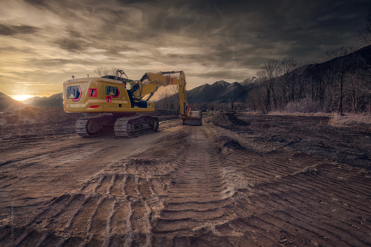
Temporary land clearing
Excavated material management
Screening and crushing of excavated material contaminated by Japanese knotweed rhizomes
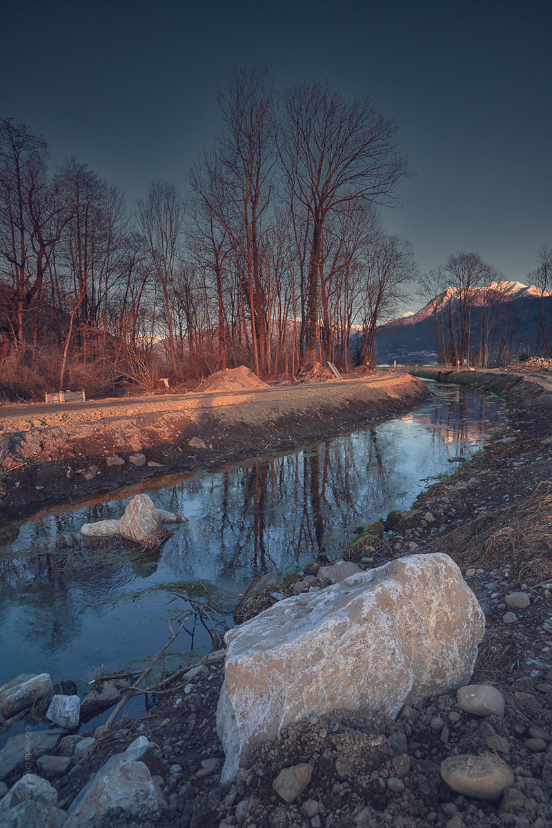
Riverbed structuring with sills, groynes, and deflectors
Revegetation works with the planting of strictly native shrubs
Reclamation of the sector from invasive species
Agricultural redevelopment
Structuring of the banks to favor the colonization of environments
Bioengineering works for public use (educational walkway)
Electro-weeding against Japanese knotweed outbreaks
Management of redeveloped soil (first 3 years after sowing)